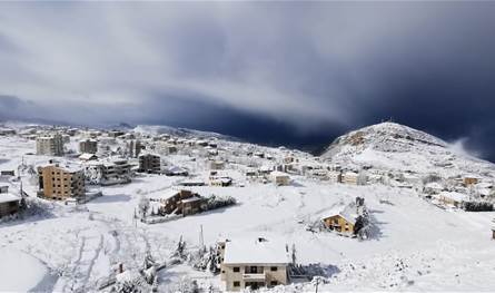
Lows and snow are returning.. Prepare for cold and frost at this time
January 8, 2025

Khneisser added: The Arctic is active in Canada and America, where snow storms hit several states, snow accumulations reached more than three meters, temperatures collapsed to about 40 below zero, and the five lakes froze. The polar currents took control of Western Europe and will reach its center in these two days, all the way to Algeria. And Tunisia, and the northern winds will penetrate the Sahara Desert until the Azorean Ridge enters northwest Africa and western Europe at the end of the week. It contributes to the deflection of ice currents towards Türkiye, Greece, and the eastern basin of the Mediterranean Sea early in the second half of this month. If rain returns, heavy snow returns, cold and frost return, then be prepared.
Lebanon’s weather for Wednesday and Thursday: sunny to cloudy with fog on the mountains and high temperatures.
Khneisser pointed out that this weekend we may witness a state of instability between Friday afternoon and Sunday, including scattered rain and the possibility of thunderstorms.
(previous_post_link)


